Regional Map
Where Is Hikertown?
Hikertown sits at the intersection of Highway 138 and the Pacific Crest Trail in the Western Antelope Valley — one of Southern California's most remote rural communities.
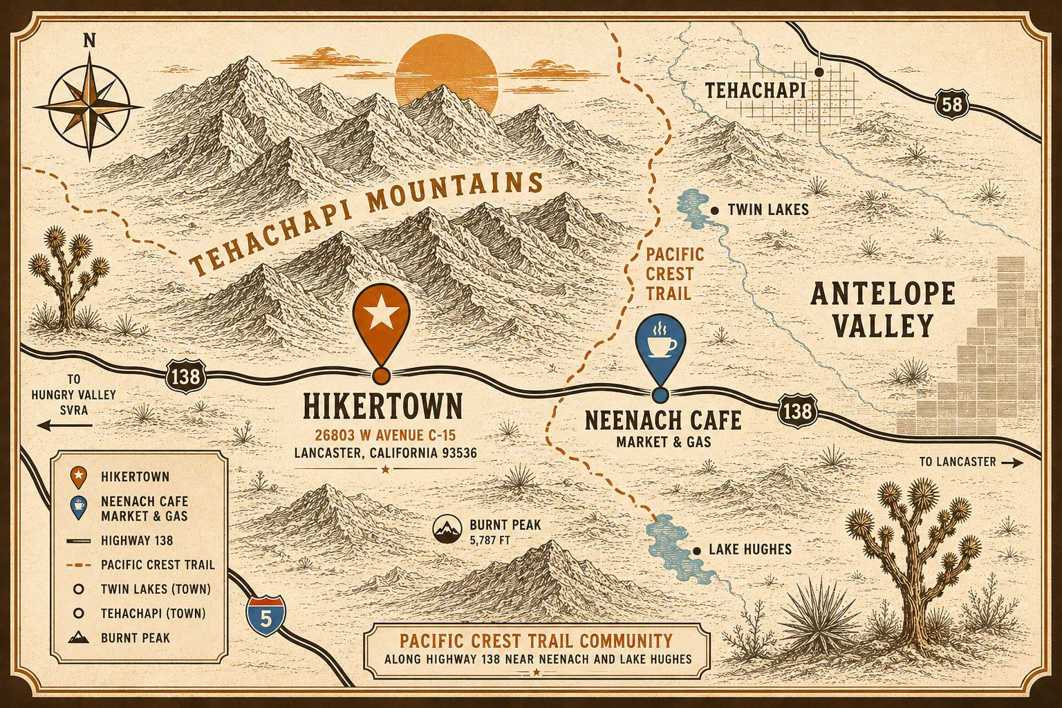
Hikertown, Highway 138, Neenach, CA 93527
Open in Google MapsKey Locations
Hikertown
The property at the center of the campaign, located on Highway 138 near the PCT crossing.
PCT Mile ~518
The Pacific Crest Trail crosses Highway 138 here, making Hikertown a critical water and rest stop for through-hikers.
Neenach
The small community nearest to Hikertown, including WeeVill Market — mentioned specifically in the 2011 report.
Lake Hughes
A nearby rural community approximately 8 miles east of Hikertown.
Lancaster
The nearest city, approximately 20 miles east via Highway 138.
Pacific Crest Trail Context
Hikertown sits at approximately mile 518 of the 2,650-mile Pacific Crest Trail — at the critical crossing of Highway 138 where PCT through-hikers transition between the Mojave Desert section and the aqueduct walk. Water, shade, and rest at this point are not optional — they are survival necessities for hikers who have been walking through extreme desert heat for days.
The loss of Hikertown as a trail resource would have direct, documented consequences for PCT through-hiker safety.